Working across Bendigo's goldfields, we see that steep terrain combined with historic mining voids creates a distinct debris flow hazard pattern. The region's box-cut gullies and colluvial slopes respond quickly to intense rainfall events. Our team has modelled runout paths for dozens of sites, integrating field mapping with numerical simulation. Before starting any analysis, we always conduct a thorough site walkover to identify source zones, transport paths, and deposition areas. This initial reconnaissance is critical — it defines the boundary conditions for the model. We then combine that with test pit logging to verify subsurface stratigraphy and locate potential failure planes masked by vegetation.
We model runout paths for dozens of sites, integrating field mapping with numerical simulation to define hazard zones under design storm events.
Method and coverage
Bendigo expanded rapidly during the 1850s gold rush, and many hillside subdivisions were cut into unstable weathered slate and phyllite. This legacy means that debris flow analysis here must account for both natural slope processes and anthropogenic disturbances like abandoned shafts and mullock heaps. We follow a six-step methodology: catchment delineation, sediment source mapping, rheological testing of the debris matrix, runout modelling using FLO-2D or DAN3D, hazard zonation, and finally risk mitigation design. Each parameter — yield stress, viscosity, grain-size distribution — is measured on site-specific samples. The final report includes exceedance probability curves for different storm return periods, helping clients make informed land-use decisions.
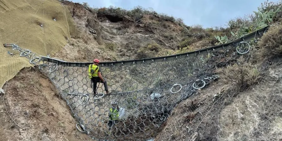
Technical reference image — Bendigo
Regional considerations
We deploy a field crew with total stations and UAV lidar to capture high-resolution topography before any analysis begins. The drone covers gullies that are too dangerous to walk, mapping source zones in steep headwater basins. Our team has documented over 40 active debris flow channels within the Bendigo municipal area. Many of these are triggered by short-duration, high-intensity storms that overwhelm the colluvial mantle. Ignoring these hazards during subdivision design has led to property damage and access road blockages. Our debris flow analysis quantifies the probability of occurrence and the expected magnitude, so you can design mitigation structures — check dams, diversion berms, or debris basins — with confidence.
Field mapping of source zones, rheological testing, and numerical runout simulation using FLO-2D. Output includes hazard maps showing debris flow inundation areas for 20-, 50-, and 100-year storms.
02
Risk Assessment and Mitigation Design
Quantitative risk analysis combining event probability with consequence evaluation. Design of structural mitigation — check dams, debris basins, and reinforced channels — compliant with AS 4678 and local council guidelines.
Standards that apply
AS 1726:2023 – Geotechnical site investigations, AS 4678:2002 – Earth retaining structures (debris barriers), AS/NZS 1170.2:2021 – Structural design actions (wind & rain loads), FHWA-NHI-07-071 – Debris flow mitigation design
Q&A
What is debris flow analysis and why is it needed in Bendigo?
Debris flow analysis evaluates the probability and behaviour of fast-moving landslides composed of soil, rock, and water. In Bendigo, steep slopes underlain by weathered slate and historic mining disturbance create a high hazard. The analysis identifies source zones, models runout paths, and defines hazard zones for safe development.
How much does a debris flow analysis cost in Bendigo?
A standard debris flow analysis for a residential subdivision in Bendigo ranges from AU$1.960 to AU$5.870, depending on catchment size, number of scenarios modelled, and whether mitigation design is included. Contact us for a site-specific quote.
What data do you need from me to start the analysis?
We need site boundary plans, any existing topographic survey, and records of past storm or landslide events on the property. If available, historical aerial photos help identify changes in vegetation or drainage. Our team can also source lidar and rainfall data from public databases.
How long does a debris flow study typically take?
A desktop study with field verification takes 2 to 4 weeks. If numerical modelling and mitigation design are required, the timeline extends to 6 to 8 weeks. Faster turnaround is possible for smaller lots with straightforward topography.